
USB-Sticks |
|
TeleCycling-USB sticks for your hometraining! Enjoy stunning landscapes in FullHD 2D/3D, with your workouts in your own home. Take your Hometrainer up to the Alpe d'Huez or through the Languedoc. Overcome You steep climbs and enjoy breathtaking slopes. During your training, you will get permanent Information about the current slope, cadence, load as well as the complete profile of the route, thus Your training with TeleCycling will be as authentic as possible.
Format of the Videofile: MP4, 1920*1080 Pixel. Simply plug into TV-USBSlot and play! USB-Sticks (8 GB) are only released for private use! TeleCycling ERGO-Box for Schwinn AC-Sport/-Performance Bikes! |

Route |
Route data |
Descriptionall videos including training instructions! |
Format MP4 |
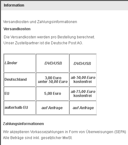
Prie incl. 19 % VAT. excl. Shipping costs |
|---|---|---|---|---|
| Total distance 187,50 km Total timet 5 h Hight meters 3548 m Endurance, Mountain FullHD |
Complete Tour de France stage!! What we have here is a stage that is probably one of the most beautiful of the 2017 Tour de France: 187.5 km, all completely in the Jura department, with an exciting and tricky finale on roads that are often narrow and winding and require a lot of energy and tempo changes. without training instructions! FullHD |
2D-USB-Stick |
59,90 |
|
|
|
Total distance 19,60 km Total time 49 Min. Height meter 1090 m Mountain FullHD |
After a flat approach over Bourg d'Oisans, the famous climb to l'Alpe d'Huez begins. 21 tough, steep curves are to be crossed to reach the summit in 1839 meters: the goal of your heroic journey. FullHD |
USB-Stick 3D-USB-Stick |
19,90 24,90 |
|
|
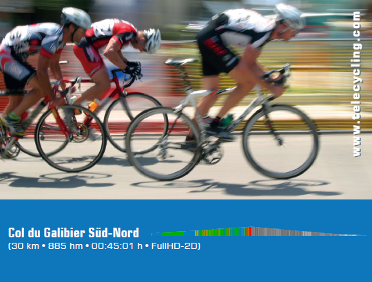
Total distance 30,00 km Total time 45 Min. Height meter 885 m Mountain FullHD |
The second route leads from the Col du Lautaret via the Col du Galibier to Valloire. Coming from Briancon, the route crosses the Col du Lautaret high above the summit of the Col du Galibier. After a rapid and splendid descent, the route ends in the ski resort of Valloire. FullHD |
USB-Stick 3D-USB-Stick |
19,90 24,90 |
|
|
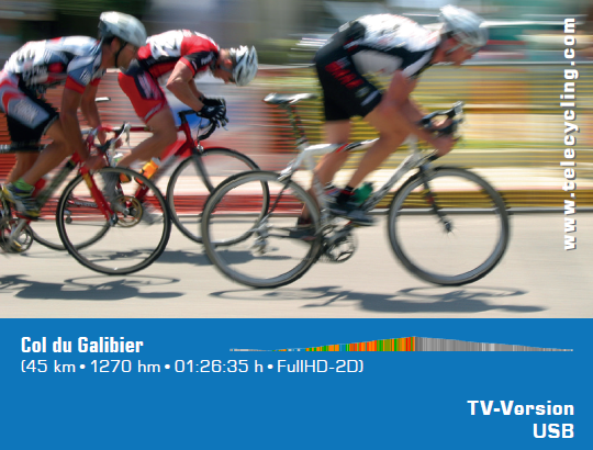
Total distance 45,00 km Total time 87 Min. Height meter 1270 m Mountain FullHD |
The Col du Galibier is probably one of the best-known classic ascents of the Tour de France. With its 2645 m peak height, the Galibier is not only the fifth-highest paved Alpine pass, but often also the roof of the tour. The route runs from Col du Telegraphe, Valloire, Col du Galibier, Col du Lautaret to la Graphe. FullHD |
USB-Stick 3D-USB-Stick |
19,90 24,90 |
|
|
Total distance 40,00 km Total time 75 Min. Height meter 350 m Basic-Endurance FullHD
|
Through the vineyards of Languedoc-Roussilion, the route from Minerve to Murviel les Beziers leads eastwards. The Tour de France is often only a transfer stage and is the ideal route for basic endurance training. FullHD |
USB-Stick 3D-USB-Stick |
19,90 24,90 |
|
|
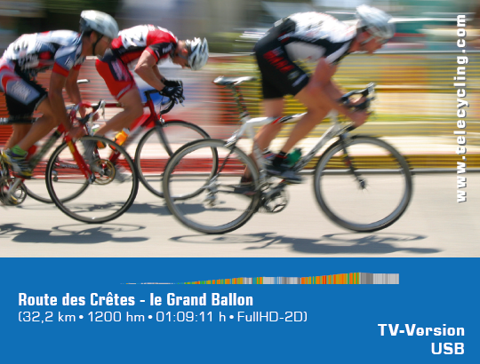
Total distance 33,00 km Total time 69 Min. Height meter 1200 m Endurance and mountain FullHD
|
The Vosges are located in the east of France and reach a height of 1424 m (Grand Ballon). The ideal region for varied bike training. After a flat approach on the "Route du Vins d'Alsace", it goes in the ascent to the Grand Ballon. After this has been conquered, a short descent takes you along the most beautiful mountain road in Europe, the "Route des Crêtes", towards the north. In the best weather and with Indian Summer, this route is the absolute pleasure. FullHD |
USB-Stick 3D-USB-Stick |
19,90 24,90 |


